

GIS FOR URBAN PLANNING AND DESIGN
General Plans, Land-Use Analysis, Geotechnical Data, and more
We use GIS to support a wide variety of planning efforts
Whether you need a map of historical resources, traffic counts, noise contours, utilities, land-use, biological or geotechnical data, we can compile, analyze, and present that data in a way that is relevant, valuable, and user-friendly.
As-needed planning for the city of san diego
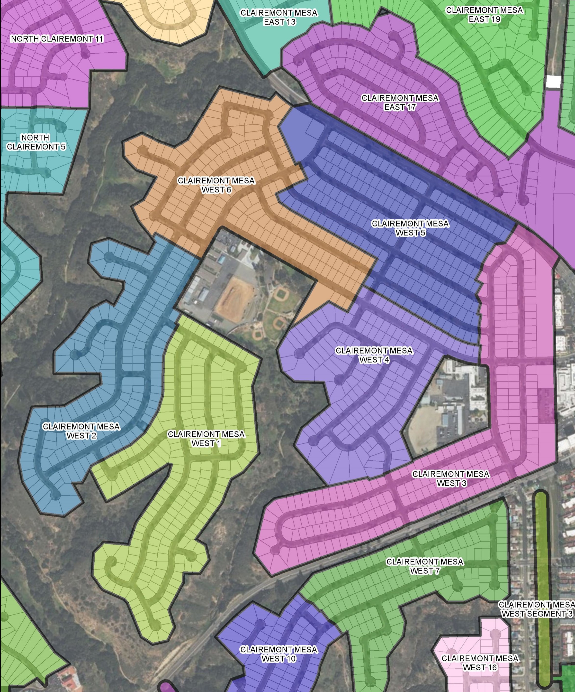
Under a wide-ranging 5-year $2,125,000 as-needed planning contract, Evari is supporting the creation of the Balboa Avenue Station Area Specific Plan. This project supports transit oriented development around the proposed Balboa Avenue Trolley station. Evari’s role in this project includes providing support to professionals in traffic, geotechnical, geology, historic resources, hydrology/water quality/utilities, noise, paleontology, environmental, planning and outreach.
Specific tasks include supporting the following:
Community outreach and participation
Existing conditions report
Mobility/transit assessments
Urban design and visioning strategy
Multi-modal land-use analysis
Urban design
Economic feasibility
Parking and trip reduction
Traffic Impact Study
Air quality analysis
Biological analysis
Evari assists in collecting data, creating data and generating land use exhibits. We also worked to obtain and analyze GIS data from SanGIS, including infrastructure layers, water/sewer lines and other types of utilities.
“Evari was also very creative in creating a historical informational GIS layer with the age of buildings, [and] the estimated building
square footage (worked with the Historic Preservation)… This is a key GIS resource for other projects”
Diane Bathgate, RRM Design Group
Creating Regulatory Documents?
We can create hard-copy maps and generate report-quality figures for environmental impact studies, environmental impact statements and technical reports.
Review our Regulatory Capabilities Statement Below: