OUR COMPANY
Evari was founded in 2009 with the mission of bringing value to clients through high quality implementation of Geographic Information Systems (GIS) and
related technologies.
ABOUT
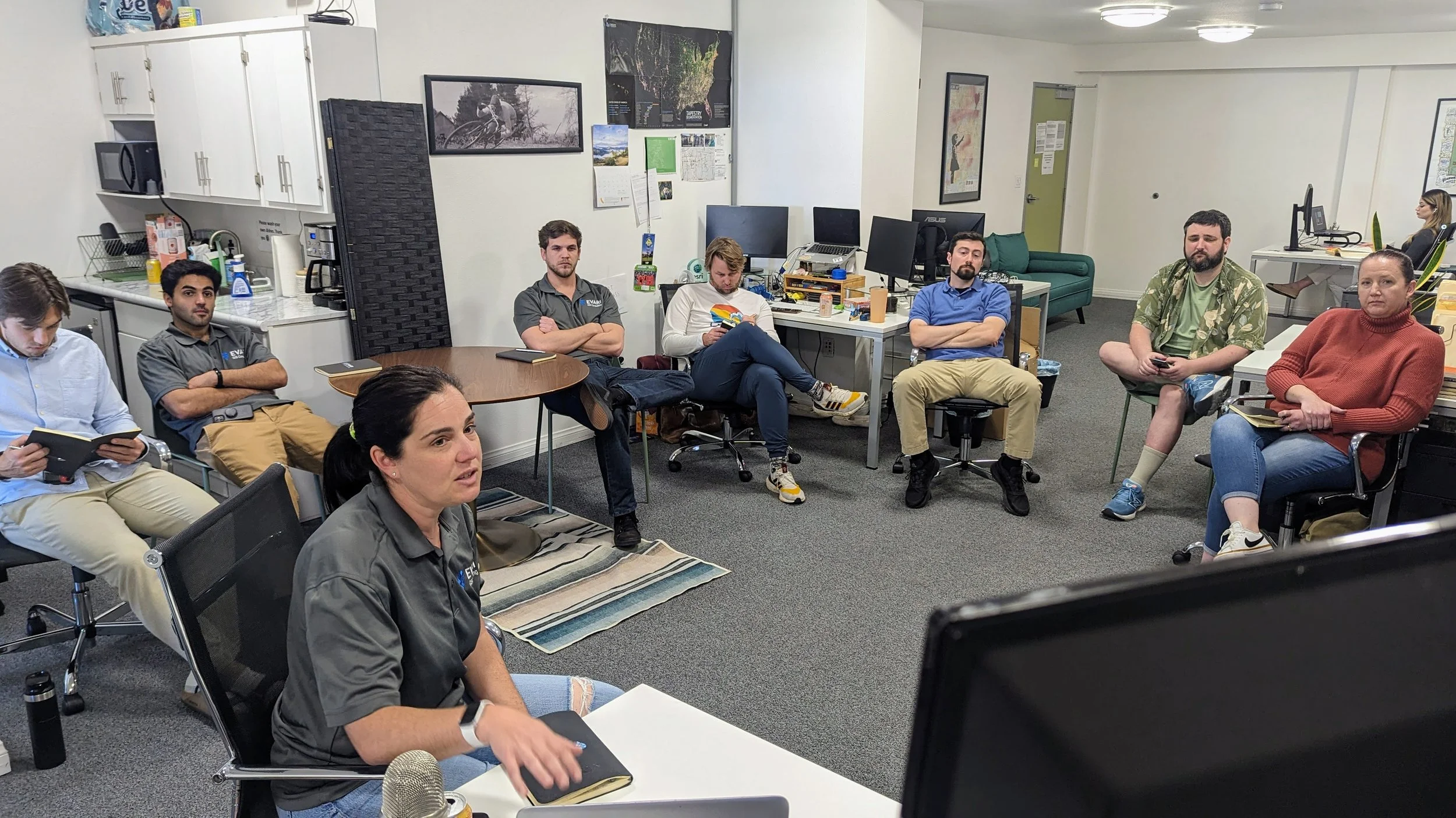
For over 15 years, Evari Consulting has provided top-tier, innovative GIS solutions to clients. We specialize in delivering high-quality mapping and geospatial data analysis services across the United States. Our custom systems, services, and products offer clients intuitive and efficient ways to interact with, visualize, and analyze geographic data. Leveraging the ESRI Technology Stack (ArcGIS) and Amazon Web Services' cloud computing platform, Evari supports a broad range of municipal GIS applications, including planning, traffic management, street lighting, infrastructure, utilities, stormwater management, AEC (Architecture, Engineering, and Construction), Historic Resources, and asset management projects.
HISTORY
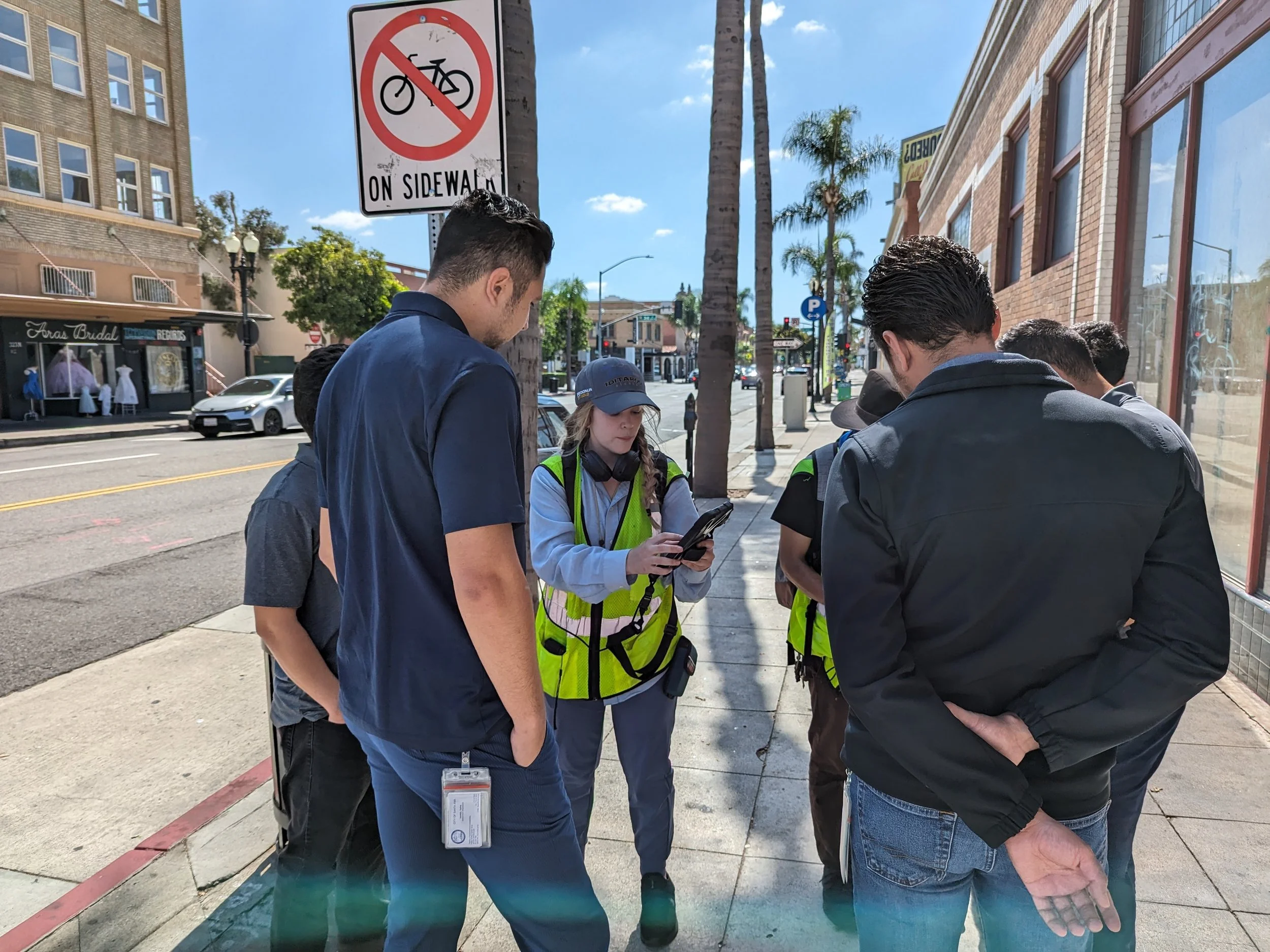
Evari Consulting was founded by Ari Isaak in 2009 with the goal of making GIS solutions accessible and easy to use. In its early days, Evari thrived on Ari’s innovative approaches to data collection, GIS solutions, and public advocacy. Our first major contract within the City of San Diego marked our entry into the streetlight industry, where we coordinated the data inventory and installation of 69,000 LED streetlights across America’s Finest City.

Eva and Ari circa 2005.
In 2012, Ari’s wife, Eva Friedberg, joined Evari full-time, bringing with her business expertise and experience in architecture, landscape history, and urban studies. With two young daughters at home, Eva’s involvement allowed the couple to balance the demands of a growing business and family life.
In 2019, we welcomed Managing Director Brian Gaze to lead the Business Solutions team. While Brian focused on expanding our consulting services, Ari directed his efforts toward product and technological development. Meanwhile, Eva assumed the role of President, overseeing day-to-day operations, including human resources, employee culture, and finance. Nick Mesler, PE rounded out the leadership team in 2023 as the Director of Business Solutions.
LOOKING AHEAD
In 2024, Evari proudly received certification as a woman-owned business, marking a significant milestone in our journey. Alongside this achievement, we have expanded our verticals to include new industries, offering services in traffic engineering, historic resource consulting, and streetlight master planning. As we continue to grow and evolve, our commitment to delivering innovative, high-quality GIS solutions remains steadfast, as does our dedication to meeting the diverse needs of our clients.

Eva and Ari with their daughters in 2020 as Eva becomes majority owner.